Brief Introduction
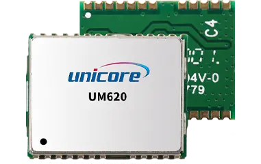
UM620 is an industrial-grade GNSS dual-frequency navigation module developed by Unicore Communi -cations. Based on the proprietary multi-system dual-frequency high-performance SoC-UC6580I, the module supports multi-system dual-frequency positioning, multi-system single-frequency positioning, or single-system standalone positioning, ensuring high positioning accuracy even in complex environments such as multi-path surroundings.
Ordering Information
Supply at multiples of 500 pieces
Product Characteristics
Industrial-grade dual-frequency navigation and positioning module
Supports GPS L1 C/A, L5; BDS B1I, B1C, B2a; GLONASS G1; Galileo E1B/C, E5a; NavIC L5*; QZSS and SBAS
Supports multi-system dual-frequency positioning, multi-system single-frequency positioning, or single-system standalone positioning
Anti-jamming design to ensure the module working stably in complex electromagnetic environments
Algorithm adaptable to low-dynamic application scenarios
 EN
EN  JP
JP  fr
fr  de
de  es
es  vi
vi  it
it  pt
pt  ms
ms  sv
sv  CN
CN